
72
Insight
|
UAVs
images that clearly show the terrain and
objects visible on the surface.
“Flying over the Manchester United
pitch will demonstrate that we can map
a football pitch-sized area of land in
two hours or less,” says John Fardoulis,
project researcher in the Interface
Analysis Centre at Bristol. “Clearing a
minefield of that size can currently take
months, and the maps our UAVs will
generate should help deminers focus on
the places where mines are most likely to
be found. That will speed up the process
and make demining far safer.”
The team is also aiming to use
hyperspectral imaging techniques, which
will allow them to obtain a separate
image of an area at many different
wavelengths of light. These images could
be used to detect the effects explosive
chemicals have on vegetation as a
means of identifying mined areas.
“Living plants have a very distinctive
reflection in the near-infrared spectrum,
just beyond human vision, which
makes it possible to tell how healthy
they are,” says project leader Dr John
Day. “Chemicals in landmines leak
out and are often absorbed by plants,
causing abnormalities. Looking for
these changes might be another way of
discovering the whereabouts of mines.
“Infrared light can also assist in
detecting man-made objects on the
surface of minefields, as they do not
reflect infrared. Unexploded ordnance
or camouflaged mines on a green field
can be difficult to see in normal light, but
infrared can make them stand out from
surrounding foliage. UAVs taking infrared
pictures to map suspected danger zones
may provide a quick and safe way to tell
if an area is likely to be hazardous.”
The Bristol team is developing
this technique with affordable and
commercially available drones, for use
in less developed parts of the world
where landmines cause the greatest
humanitarian problems. There are an
estimated 110 million active landmines in
the world, and clearing them using current
technologies would cost about $30 billion
and take more than 1000 years.
Firefighting
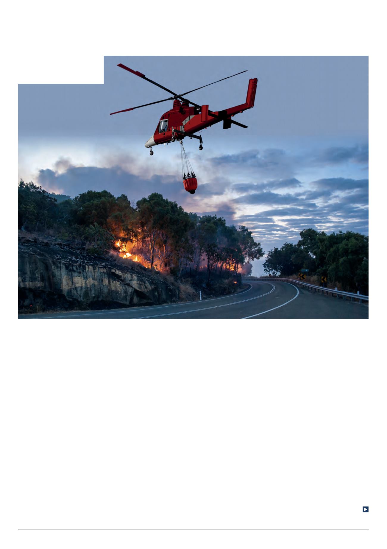
One emerging civilian application for
unmanned platforms is in firefighting.
The K-MAX platform has been developed
by Kaman Aerospace and converted to
autonomous operation by Lockheed
June/July 2016 |
Unmanned Systems Technology
K-MAX is an autonomous helicopter
that can deliver large loads, and
has been used to tackle forest fires
(Courtesy of Lockheed Martin)


