


 20 / 92

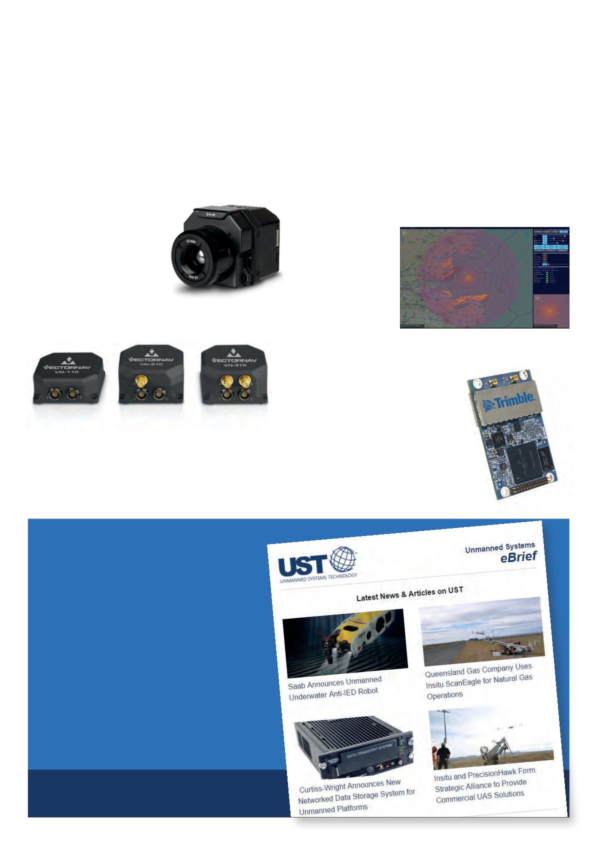
Radar display for
unmanned surface vehicles
Cambridge Pixel
has launched
USVx, a new radar
display application
to control radar
sensors and
tracking functions
on unmanned or
autonomous surface
vehicles.
Dual-antenna GNSS
module for system
integrators
Trimble has announced the
MB-Two, a GNSS module that
delivers highly accurate GNSS-
based heading plus pitch or roll in an
advanced industry-standard form factor
for system integrators.
Radiometric thermal
imaging camera for
commercial drones
FLIR Systems has unveiled the
FLIR Vue Pro R radiometric
thermal imaging camera for
commercial drones, which
gives drone operators the ability
to save pictures for post-flight image analysis and accurately
measure the temperatures of individual image pixels.
New high-performance
inertial navigation systems
VectorNav Technologies has introduced the Tactical Series, a
next-generation family of high-performance inertial navigation
systems built on a common tactical-grade proprietary MEMS
inertial sensing core.
Get all the latest
developments direct to your inbox
The free weekly UST eBrief contains a
round-up of the latest news, articles and
product developments from
UnmannedSystemsTechnology.com.
Sign up at
unmannedsystemstechnology.com/ebriefView more at
unmannedsystemstechnology.comA round-up of what’s new on
UnmannedSystemsTechnology.comUST
online
Sign up for
the UST eBrief
20
UST online
June/July 2016 |
Unmanned Systems Technology